
Contact Us
Vlad Murgu
archaeologist
Book Appointment
Frequently Asked Questions
Whether you are planning a development, managing agricultural land, investigating a potential archaeological site or preparing for construction, understanding what lies beneath the surface can be an important part of the planning process.
Explore some of the most common questions about magnetometry surveys and how Subsol Detect can help you make informed.
Magnetometry is a non-invasive method used to investigate what may be beneath the ground without digging. A magnetometer measures small variations in the Earth’s magnetic field, which can reveal buried features or areas of interest.
For archaeological projects, this can help identify features such as walls, ditches, pits, kilns and areas of burning that may not be visible from the surface.
A magnetometry survey can provide valuable information about a site before construction, development or excavation begins. It can help identify areas of potential archaeological interest and give you a better understanding of what may be beneath the surface.
This can be particularly useful when planning developments such as solar farms, construction projects, infrastructure, agricultural works or other changes to the land.
Depending on the ground conditions and the type and depth of the feature, magnetometry can identify a range of buried archaeological remains, including walls, ditches, pits, hearths, kilns and other traces of past human activity.
It can also highlight areas that require further investigation. The survey does not physically excavate the ground; instead, it provides a detailed picture of magnetic variations beneath the survey area.
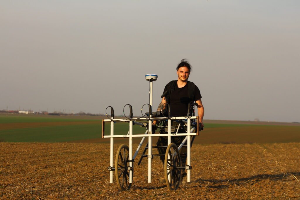
We systematically survey the area using specialist magnetometry equipment. The equipment records very small changes in the Earth’s magnetic field as we move across the site.
The collected data is then processed and turned into detailed maps and visualisations. We analyse these results to identify patterns and anomalies that may be of archaeological interest and provide you with clear, practical information about the site.
Yes. Magnetometry can be used on a wide range of land and development projects, provided that the site conditions are suitable.
It can be particularly useful before ground-disturbing work such as construction, infrastructure installation, agricultural works or solar farm development. Surveying a site at an early stage can help identify potential archaeological constraints and support better-informed project planning.
No. Magnetometry is a non-invasive survey technique, meaning that it does not require excavation to collect the magnetic data.
Our equipment records measurements from the ground surface, allowing large areas to be investigated with minimal disturbance. This makes magnetometry particularly useful where the land needs to remain intact or where excavation is not appropriate at an early stage of a project.
Once the fieldwork is complete, the collected data is processed, analysed and presented in a clear format. Depending on the requirements of your project, this can include detailed maps, data visualisation, interpretation and reporting.
Our aim is to turn complex survey data into information that is useful for decision-making — whether you are assessing land for development, planning archaeological investigation, or simply trying to understand what may be beneath a site.
Planning a Project? Let's Talk.
Whether you are planning a construction project, solar farm, agricultural development or archaeological investigation, Sub Sol can help you understand what may be beneath the surface before work begins.